Every step towards sustainability is a step in the right direction. But where to start and how to measure your impact?
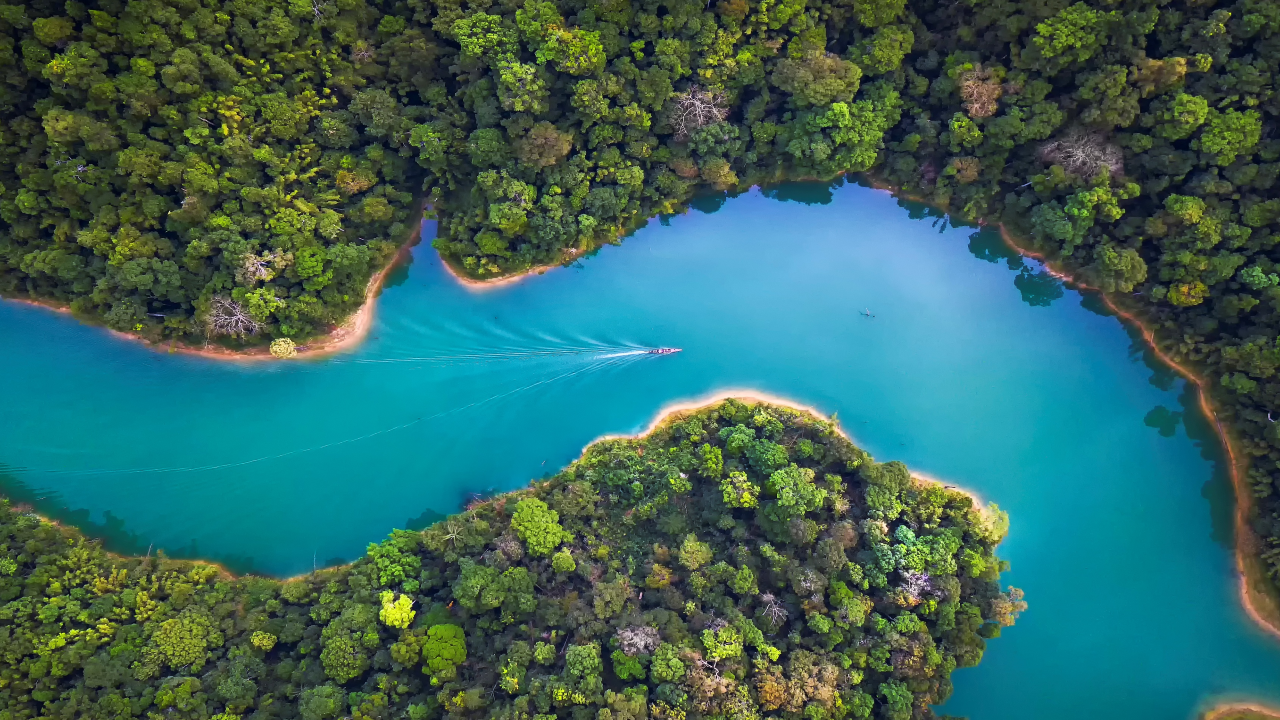
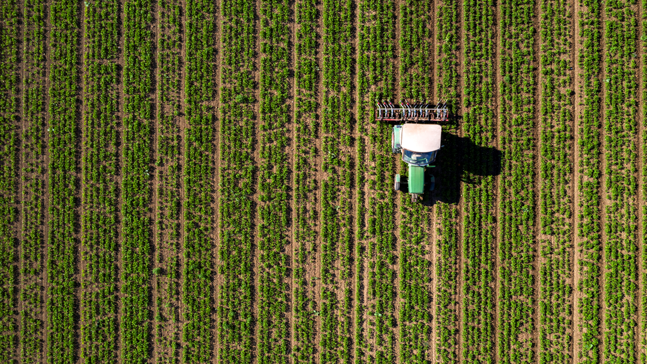
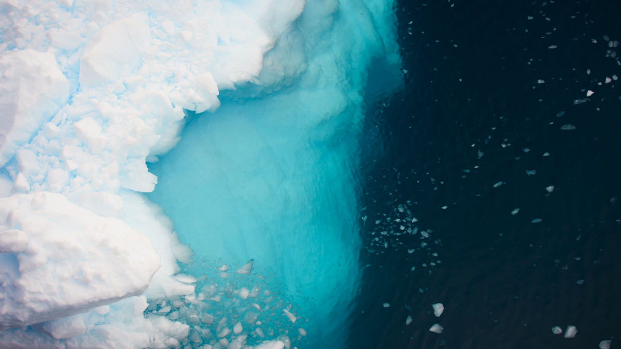
We help organisations integrate geospatial intelligence into their sustainability strategies. We provide customized solutions that enable data-driven decisions, helping companies manage environmental risks, optimize resources, and achieve their sustainability objectives. Our focus on water, biodiversity, agriculture, and climate change allows us to offer a comprehensive view of environmental impacts through both global and local data.
What sets us apart is our ability to create tailored solutions for each client's unique sustainability challenges. We don't just provide advice—we work alongside organizations from risk assessment through to monitoring, ensuring that every step of the sustainability journey is supported. By aligning environmental goals with business outcomes, we help companies build strong business cases for sustainability, making it an essential part of their long-term success.
What are your challenges to become a more sustainable business? Please contact us for a (virtual) coffee to find out if there is a match.
Organizations must integrate sustainability across all business units and value chains to stay competitive. 52impact is a global leader in leveraging geospatial and advanced data technologies to deliver tailored solutions in water, biodiversity, climate change, and sustainable agriculture.
Recognizing that sustainability is not one-size-fits-all, our experts design customized strategies for every stage of your journey. From improving water efficiency and setting biodiversity targets to advancing sustainable agriculture, 52impact partners with you to assess challenges, advise on solutions, streamline reporting, and monitor impact.
52impact provides a holistic assessment of your sustainability challenges and risks, conducting global screenings to identify issues such as water, biodiversity, and climate impacts, and tailoring our approach based on your organization's stage in the sustainability journey.
We provide tailored recommendations for solutions and mitigation actions to improve conditions and keep your business ahead of climate change.
52impact simplifies the sustainability reporting process by aligning your data with global frameworks, ensuring accuracy, clarity, and compliance to communicate your progress effectively.
We monitor and assesses the impact of your interventions, providing actionable insights to track improvements, guide decisions, and ensure progress toward your sustainability goals.

52impact was founded in 2017 on the 52° latitude and transforms spatial imagery and data into actionable maps and information products. We are experts in developing, presenting and commercialising spatial data products and services for new markets. In short, we make complex (space) technology meaningful and beautiful.
What sets us apart from others is our unique blend of expertise: technology/engineering, business and communication. We can communicate with and understand directors, scientists, managers and software developers and bridge the gaps between them.
At 52impact we connect the dots of geo & space technologies and are able to structure and present information in a clear and concise way.
Our core team of professionals are data engineers and business experts who know how to translate complex information needs to practical information solutions. Solutions that are viable from both a technical and commercial perspective. Combined with years of experience with tech projects and a large network of professionals this makes us a flexible and reliable partner for your challenge.

Co-owner / Director
Strategy, service developer, R&D, chief projects

Team Lead | Environmental Data Specialist
Environmental analyst, flood risk specialist, waterbender

Commercial Consultant
Business developer, social entrepreneur, all-things sustainability lover

Data Consultant
Geodata specialist, nature lover, and world wander(er)

Environmental Data Specialist
Environmental analyst, climate passionate, singing wanderer of nature

Co-owner / Director
People lead, problem solver, technology champion

Data Scientist
Stargazer, data guru, wildlife watcher

Water Resources Specialist
Hydrologist, analyst, storyteller

Data Consultant
Data enthusiast, space wonderer, tennis player

Do you have a strong drive to achieve results and bring change? Are you a Project Manager who wants to make an impact with innovative data and software solutions? Then we would like to meet you!

As part of a diverse team of developers, you will work on projects and services centred on geo-information and Earth observation data. Our unique datasets are made available through various APIs, and we also offer various other channels to make insights accessible to a wide range of customers.
Are you accurate, analytical and do you get energy from a well-organised financial administration? Do you want to contribute to an organisation that makes social impact with innovative geo-data and sustainability solutions? Then we would like to meet you!
Are you structured, accurate and do you like to keep financial processes running smoothly? Do you want to work in an organisation that makes social impact with innovative geo-data and sustainability solutions? Then we would like to meet you!


